
Dünenlandschaft auf dem Roten Kliff/Sylt topographic map
Interactive map
Click on the map to display elevation.
About this map
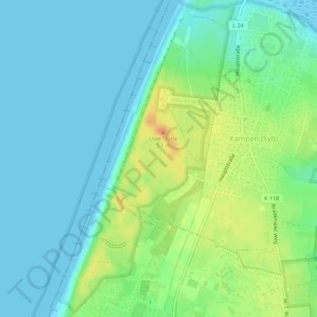
Name: Dünenlandschaft auf dem Roten Kliff/Sylt topographic map, elevation, terrain.
Average elevation: 12 m
Minimum elevation: -2 m
Maximum elevation: 39 m