
Rogerson topographic map
Interactive map
Click on the map to display elevation.
About this map
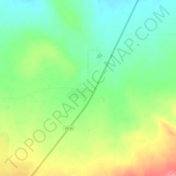
Name: Rogerson topographic map, elevation, terrain.
Location: Rogerson, Twin Falls County, Idaho, USA (42.19797 -114.61420 42.23797 -114.57420)
Average elevation: 1,498 m
Minimum elevation: 1,462 m
Maximum elevation: 1,552 m