
Upper Abbot topographic map
Interactive map
Click on the map to display elevation.
About this map
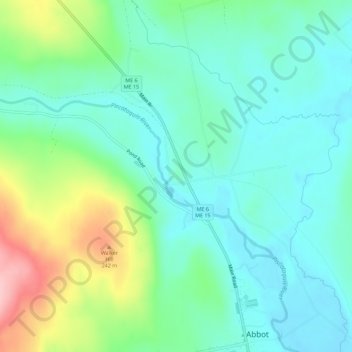
Name: Upper Abbot topographic map, elevation, terrain.
Location: Upper Abbot, Piscataquis County, Maine, 04406, USA (45.18505 -69.48366 45.22505 -69.44366)
Average elevation: 162 m
Minimum elevation: 116 m
Maximum elevation: 287 m