
Thank you for supporting this site ❤️
Make a donation
Make a donation
Peddapur topographic map
Click on the map to display elevation.
Thank you for supporting this site ❤️
Make a donation
Make a donation
About this map
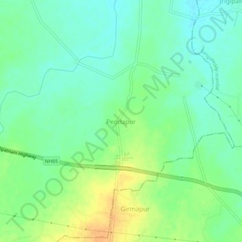
Name: Peddapur topographic map, elevation, terrain.
Location: Peddapur, Sadasivpet mandal, Sangareddy, Telangana, India (17.59331 78.00812 17.63331 78.04812)
Average elevation: 518 m
Minimum elevation: 505 m
Maximum elevation: 537 m
Thank you for supporting this site ❤️
Make a donation
Make a donation
Other topographic maps
Click on a map to view its topography, its elevation and its terrain.