
Kangku topographic map
Interactive map
Click on the map to display elevation.
About this map
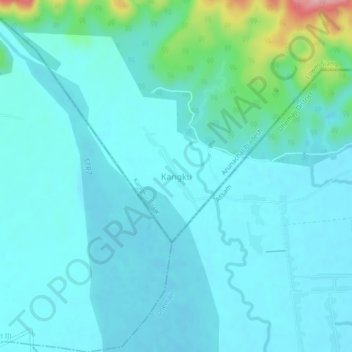
Name: Kangku topographic map, elevation, terrain.
Location: Kangku, Kangku Circle, Lower Siang, Arunachal Pradesh, India (27.54501 94.44049 27.58501 94.48049)
Average elevation: 142 m
Minimum elevation: 118 m
Maximum elevation: 283 m