
Thank you for supporting this site ❤️
Make a donation
Make a donation
Cockrell topographic map
Click on the map to display elevation.
Thank you for supporting this site ❤️
Make a donation
Make a donation
About this map
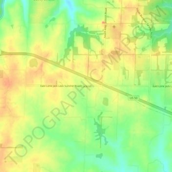
Name: Cockrell topographic map, elevation, terrain.
Location: Cockrell, Jackson County, Missouri, United States (38.86556 -94.25772 38.90556 -94.21772)
Average elevation: 306 m
Minimum elevation: 277 m
Maximum elevation: 329 m
Thank you for supporting this site ❤️
Make a donation
Make a donation
Other topographic maps
Click on a map to view its topography, its elevation and its terrain.