
Guareña topographic map
Interactive map
Click on the map to display elevation.
About this map
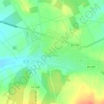
Name: Guareña topographic map, elevation, terrain.
Location: Guareña, Badajoz, Estrémadure, Espagne (38.85394 -6.11038 38.86621 -6.09041)
Average elevation: 285 m
Minimum elevation: 265 m
Maximum elevation: 314 m