
Betzenrod topographic map
Interactive map
Click on the map to display elevation.
About this map
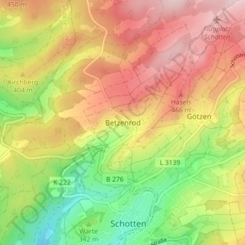
Name: Betzenrod topographic map, elevation, terrain.
Location: Betzenrod, Schotten, Vogelsbergkreis, Hessen, 63679, Deutschland (50.49817 9.10160 50.53817 9.14160)
Average elevation: 388 m
Minimum elevation: 240 m
Maximum elevation: 526 m
Die Statistisch-topographisch-historische Beschreibung des Großherzogthums Hessen berichtet 1830 über Betzenrod: