
Loën topographic map
Interactive map
Click on the map to display elevation.
About this map
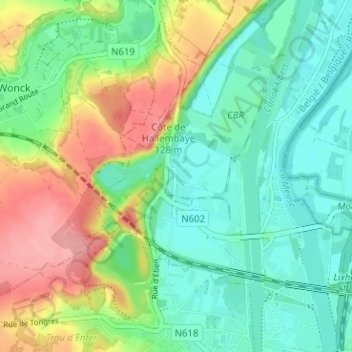
Name: Loën topographic map, elevation, terrain.
Location: Loën, Visé, Liège, Wallonie, 4600, Belgique (50.73764 5.64258 50.77764 5.68258)
Average elevation: 82 m
Minimum elevation: 44 m
Maximum elevation: 153 m