
Bhagwānpur topographic map
Interactive map
Click on the map to display elevation.
About this map
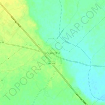
Name: Bhagwānpur topographic map, elevation, terrain.
Location: Bhagwānpur, Roorkee, Haridwar, Uttarakhand, 247661, India (29.92216 77.79377 29.96216 77.83377)
Average elevation: 276 m
Minimum elevation: 266 m
Maximum elevation: 287 m