
Thank you for supporting this site ❤️
Make a donation
Make a donation
Tirtol topographic map
Click on the map to display elevation.
Thank you for supporting this site ❤️
Make a donation
Make a donation
About this map
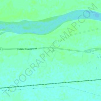
Name: Tirtol topographic map, elevation, terrain.
Location: Tirtol, Jagatsinghapur, Odisha, 754137, India (20.28640 86.32499 20.32640 86.36499)
Average elevation: 8 m
Minimum elevation: 4 m
Maximum elevation: 11 m
Thank you for supporting this site ❤️
Make a donation
Make a donation