
Kamsar topographic map
Interactive map
Click on the map to display elevation.
About this map
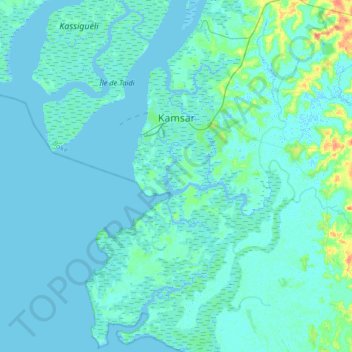
Name: Kamsar topographic map, elevation, terrain.
Location: Kamsar, Boké, Guinée (10.45012 -14.66756 10.77135 -14.43017)
Average elevation: 3 m
Minimum elevation: -3 m
Maximum elevation: 36 m