
La Fuente topographic map
Interactive map
Click on the map to display elevation.
About this map
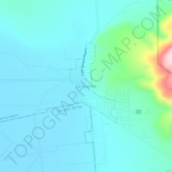
Name: La Fuente topographic map, elevation, terrain.
Location: La Fuente, Tequisquiapan, Querétaro, México (20.53112 -100.05563 20.57112 -100.01563)
Average elevation: 1,952 m
Minimum elevation: 1,902 m
Maximum elevation: 2,257 m