
Fort Seybert topographic map
Interactive map
Click on the map to display elevation.
About this map
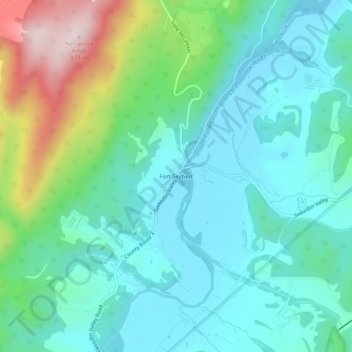
Name: Fort Seybert topographic map, elevation, terrain.
Location: Fort Seybert, Pendleton County, West Virginia, United States (38.67400 -79.21226 38.71400 -79.17226)
Average elevation: 538 m
Minimum elevation: 430 m
Maximum elevation: 875 m