
Ubinas topographic map
Interactive map
Click on the map to display elevation.
About this map
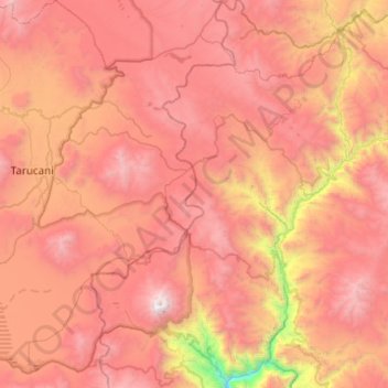
Name: Ubinas topographic map, elevation, terrain.
Location: Ubinas, Provincia de General Sánchez Cerro, Moquegua, Perú (-16.44751 -70.98656 -15.97596 -70.65599)
Average elevation: 4,366 m
Minimum elevation: 2,559 m
Maximum elevation: 5,617 m