
Ammerzoden topographic map
Interactive map
Click on the map to display elevation.
About this map
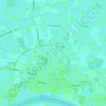
Name: Ammerzoden topographic map, elevation, terrain.
Location: Ammerzoden, Maasdriel, Geldern, Niederlande (51.74156 5.20525 51.77057 5.23673)
Average elevation: 3 m
Minimum elevation: 0 m
Maximum elevation: 7 m
Other topographic maps
Click on a map to view its topography, its elevation and its terrain.
Hoenzadriel
Niederlande > Geldern > Maasdriel
Hoenzadriel, Maasdriel, Geldern, Niederlande
Average elevation: 4 m
Heerewaarden
Niederlande > Geldern > Maasdriel
Heerewaarden, Maasdriel, Geldern, Niederlande
Average elevation: 5 m