
Tarup topographic map
Interactive map
Click on the map to display elevation.
About this map
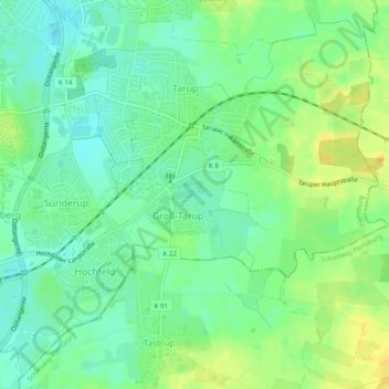
Name: Tarup topographic map, elevation, terrain.
Location: Tarup, Flensburg, Schleswig-Holstein, Deutschland (54.76187 9.45751 54.78858 9.50614)
Average elevation: 44 m
Minimum elevation: 33 m
Maximum elevation: 58 m
Other topographic maps
Click on a map to view its topography, its elevation and its terrain.
Mürwik
Deutschland > Schleswig-Holstein > Flensburg
Mürwik, Flensburg, Schleswig-Holstein, 24944, Deutschland
Average elevation: 36 m
Engelsby
Deutschland > Schleswig-Holstein > Flensburg
Engelsby, Flensburg, Schleswig-Holstein, Deutschland
Average elevation: 46 m