
Hüttersdorf topographic map
Interactive map
Click on the map to display elevation.
About this map
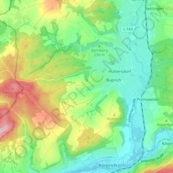
Name: Hüttersdorf topographic map, elevation, terrain.
Location: Hüttersdorf, Schmelz, Landkreis Saarlouis, Saarland, Deutschland (49.39221 6.79502 49.44004 6.87481)
Average elevation: 268 m
Minimum elevation: 196 m
Maximum elevation: 405 m
Other topographic maps
Click on a map to view its topography, its elevation and its terrain.
Bornberg
Deutschland > Saarland > Landkreis Saarlouis > Schmelz
Bornberg, Schmelz, Landkreis Saarlouis, Saarland, 66839, Deutschland
Average elevation: 250 m