
Thank you for supporting this site ❤️
Make a donation
Make a donation
Ader topographic map
Click on the map to display elevation.
Thank you for supporting this site ❤️
Make a donation
Make a donation
About this map
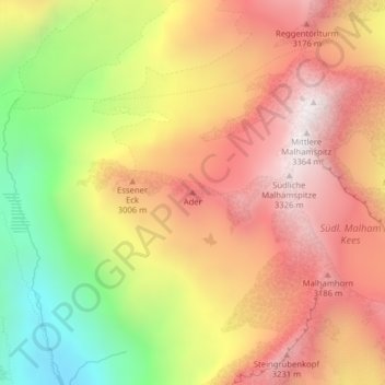
Name: Ader topographic map, elevation, terrain.
Location: Ader, Prägraten am Großvenediger, Bezirk Lienz, Austria (47.04300 12.24672 47.04310 12.24682)
Average elevation: 2,821 m
Minimum elevation: 2,182 m
Maximum elevation: 3,308 m
Thank you for supporting this site ❤️
Make a donation
Make a donation