
Arega topographic map
Interactive map
Click on the map to display elevation.
About this map
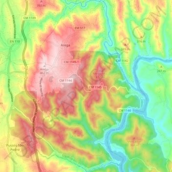
Name: Arega topographic map, elevation, terrain.
Location: Arega, Figueiró dos Vinhos, Leiria, Portugal (39.79322 -8.33572 39.86849 -8.27036)
Average elevation: 270 m
Minimum elevation: 104 m
Maximum elevation: 458 m