
Pocharam topographic map
Interactive map
Click on the map to display elevation.
About this map
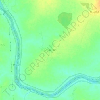
Name: Pocharam topographic map, elevation, terrain.
Location: Pocharam, Pulkal mandal, Sangareddy, Telangana, 502246, India (17.70997 77.93087 17.74997 77.97087)
Average elevation: 512 m
Minimum elevation: 500 m
Maximum elevation: 528 m