
Thank you for supporting this site ❤️
Make a donation
Make a donation
Lhuntse topographic map
Click on the map to display elevation.
Thank you for supporting this site ❤️
Make a donation
Make a donation
About this map
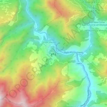
Name: Lhuntse topographic map, elevation, terrain.
Location: Lhuntse, Jang_Ngar, Gangzur Gewog, Lhuntse District, Bhutan (27.62453 91.14831 27.70453 91.22831)
Average elevation: 1,881 m
Minimum elevation: 1,129 m
Maximum elevation: 3,239 m
Thank you for supporting this site ❤️
Make a donation
Make a donation