
Thank you for supporting this site ❤️
Make a donation
Make a donation
Kashida topographic map
Click on the map to display elevation.
Thank you for supporting this site ❤️
Make a donation
Make a donation
About this map
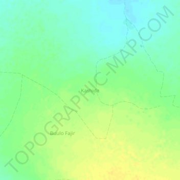
Name: Kashida topographic map, elevation, terrain.
Location: Kashida, Baidoa District, Bay, South West, Somalia (3.63010 43.76170 3.67010 43.80170)
Average elevation: 599 m
Minimum elevation: 588 m
Maximum elevation: 610 m
Thank you for supporting this site ❤️
Make a donation
Make a donation