
Kahuro topographic map
Interactive map
Click on the map to display elevation.
About this map
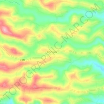
Name: Kahuro topographic map, elevation, terrain.
Location: Kahuro, Murang'a County, Central Kenya, Kenya (-0.76855 36.98723 -0.72855 37.02723)
Average elevation: 1,636 m
Minimum elevation: 1,552 m
Maximum elevation: 1,726 m