
Thank you for supporting this site ❤️
Make a donation
Make a donation
Matlacha topographic map
Click on the map to display elevation.
Thank you for supporting this site ❤️
Make a donation
Make a donation
About this map
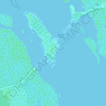
Name: Matlacha topographic map, elevation, terrain.
Location: Matlacha, Lee County, Florida, United States (26.62692 -82.07115 26.62943 -82.06909)
Average elevation: 1 m
Minimum elevation: -1 m
Maximum elevation: 6 m
Thank you for supporting this site ❤️
Make a donation
Make a donation