
Thank you for supporting this site ❤️
Make a donation
Make a donation
Giror topographic map
Click on the map to display elevation.
Thank you for supporting this site ❤️
Make a donation
Make a donation
About this map
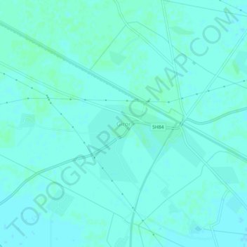
Name: Giror topographic map, elevation, terrain.
Location: Giror, Mainpuri, Uttar Pradesh, 205121, India (27.16940 78.77422 27.20940 78.81422)
Average elevation: 160 m
Minimum elevation: 158 m
Maximum elevation: 162 m
Thank you for supporting this site ❤️
Make a donation
Make a donation