
Nashua topographic map
Interactive map
Click on the map to display elevation.
About this map
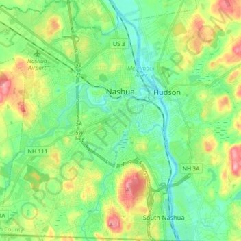
Name: Nashua topographic map, elevation, terrain.
Average elevation: 62 m
Minimum elevation: 26 m
Maximum elevation: 135 m
Other topographic maps
Click on a map to view its topography, its elevation and its terrain.
Nashua
Vereinigte Staaten von Amerika > New Hampshire > Hillsborough County > Nashua
Nashua, Hillsborough County, New Hampshire, 03060-03064, Vereinigte Staaten von Amerika
Average elevation: 82 m