
Thank you for supporting this site ❤️
Make a donation
Make a donation
Dongargaon topographic map
Click on the map to display elevation.
Thank you for supporting this site ❤️
Make a donation
Make a donation
About this map
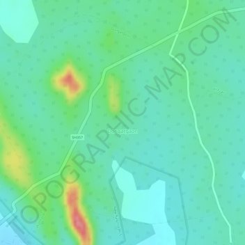
Name: Dongargaon topographic map, elevation, terrain.
Location: Dongargaon, Sakoli Taluka, Bhandara, Maharashtra, India (21.15248 79.98385 21.17492 80.01174)
Average elevation: 291 m
Minimum elevation: 265 m
Maximum elevation: 361 m
Thank you for supporting this site ❤️
Make a donation
Make a donation