
FFH Mittleres Zwickauer Muldetal (Teilfläche 4: Wiese bei Bräunsdorf) topographic map
Interactive map
Click on the map to display elevation.
About this map
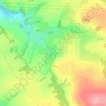
Name: FFH Mittleres Zwickauer Muldetal (Teilfläche 4: Wiese bei Bräunsdorf) topographic map, elevation, terrain.
Average elevation: 326 m
Minimum elevation: 265 m
Maximum elevation: 386 m