
شیت topographic map
Interactive map
Click on the map to display elevation.
About this map
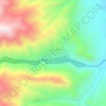
Name: شیت topographic map, elevation, terrain.
Location: شیت, بخش چورزق, شهرستان طارم, Zandschan, Iran (36.95802 48.67965 36.99802 48.71965)
Average elevation: 1,035 m
Minimum elevation: 660 m
Maximum elevation: 1,604 m