
Riceburg topographic map
Interactive map
Click on the map to display elevation.
About this map
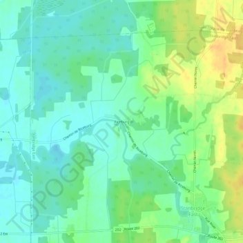
Name: Riceburg topographic map, elevation, terrain.
Average elevation: 78 m
Minimum elevation: 66 m
Maximum elevation: 98 m
Other topographic maps
Click on a map to view its topography, its elevation and its terrain.
Stanbridge
Canada > Québec > Brome-Missisquoi > Stanbridge East
Stanbridge, Stanbridge East, Brome-Missisquoi, Estrie, Québec, Canada
Average elevation: 100 m