
松烟镇 topographic map
Interactive map
Click on the map to display elevation.
About this map
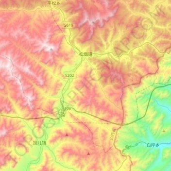
Name: 松烟镇 topographic map, elevation, terrain.
Location: 松烟镇, 和顺县, 晋中市, 山西省, 中国 (37.06293 113.55082 37.24630 113.84204)
Average elevation: 1,331 m
Minimum elevation: 558 m
Maximum elevation: 2,048 m
Other topographic maps
Click on a map to view its topography, its elevation and its terrain.