
Lindsay topographic map
Interactive map
Click on the map to display elevation.
About this map
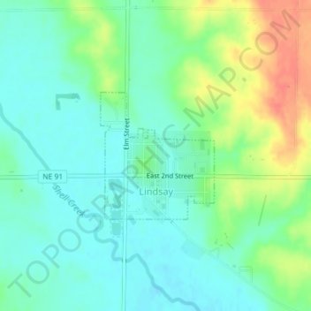
Name: Lindsay topographic map, elevation, terrain.
Location: Lindsay, Platte County, Nebraska, 68644, USA (41.69618 -97.70014 41.70722 -97.68691)
Average elevation: 518 m
Minimum elevation: 500 m
Maximum elevation: 554 m