
Thank you for supporting this site ❤️
Make a donation
Make a donation
Les Roches Neulons topographic map
Click on the map to display elevation.
Thank you for supporting this site ❤️
Make a donation
Make a donation
About this map
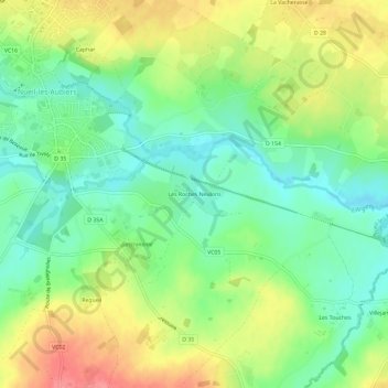
Name: Les Roches Neulons topographic map, elevation, terrain.
Average elevation: 129 m
Minimum elevation: 97 m
Maximum elevation: 173 m
Thank you for supporting this site ❤️
Make a donation
Make a donation
Other topographic maps
Click on a map to view its topography, its elevation and its terrain.
Parc Saint-Hubert
France > Nouvelle-Aquitaine > Deux-Sèvres > Nueil-les-Aubiers
Average elevation: 138 m