
Thank you for supporting this site ❤️
Make a donation
Make a donation
Lalkhed topographic map
Click on the map to display elevation.
Thank you for supporting this site ❤️
Make a donation
Make a donation
About this map
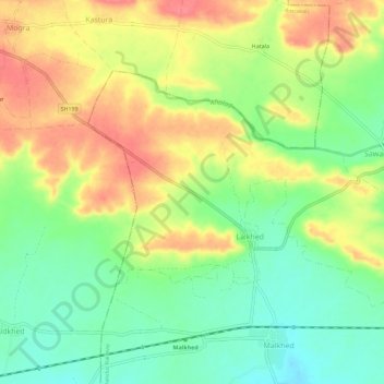
Name: Lalkhed topographic map, elevation, terrain.
Location: Lalkhed, Chandur Railway, Amravati, Maharashtra, India (20.82584 77.85063 20.85926 77.90719)
Average elevation: 359 m
Minimum elevation: 326 m
Maximum elevation: 395 m
Thank you for supporting this site ❤️
Make a donation
Make a donation