
Isla topographic map
Interactive map
Click on the map to display elevation.
About this map
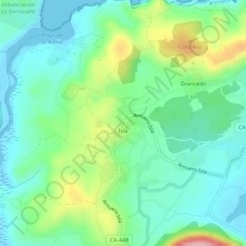
Name: Isla topographic map, elevation, terrain.
Location: Isla, Arnuero, Trasmiera, Cantabria, Cantabrie, 39195, Espagne (43.49164 -3.57102 43.49694 -3.56434)
Average elevation: 50 m
Minimum elevation: -3 m
Maximum elevation: 178 m