
Thank you for supporting this site ❤️
Make a donation
Make a donation
Viharahena topographic map
Click on the map to display elevation.
Thank you for supporting this site ❤️
Make a donation
Make a donation
About this map
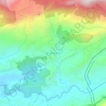
Name: Viharahena topographic map, elevation, terrain.
Location: Viharahena, Matara District, Southern Province, Sri Lanka (6.34759 80.57440 6.38759 80.61440)
Average elevation: 614 m
Minimum elevation: 371 m
Maximum elevation: 1,142 m
Thank you for supporting this site ❤️
Make a donation
Make a donation