
Thank you for supporting this site ❤️
Make a donation
Make a donation
Albany topographic map
Click on the map to display elevation.
Thank you for supporting this site ❤️
Make a donation
Make a donation
About this map
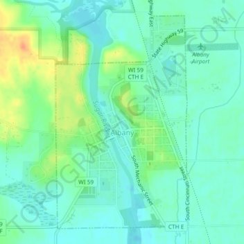
Name: Albany topographic map, elevation, terrain.
Location: Albany, Green County, Wisconsin, 53502, United States (42.69733 -89.44687 42.72089 -89.42703)
Average elevation: 253 m
Minimum elevation: 241 m
Maximum elevation: 281 m
Thank you for supporting this site ❤️
Make a donation
Make a donation
Other topographic maps
Click on a map to view its topography, its elevation and its terrain.
Thank you for supporting this site ❤️
Make a donation
Make a donation
Thank you for supporting this site ❤️
Make a donation
Make a donation