
Pondo topographic map
Interactive map
Click on the map to display elevation.
About this map
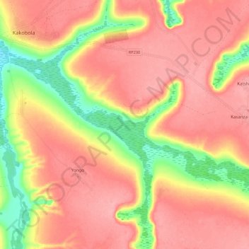
Name: Pondo topographic map, elevation, terrain.
Location: Pondo, Kakobola, Kwilu, Democratic Republic of the Congo (-5.71275 19.06708 -5.65663 19.17472)
Average elevation: 743 m
Minimum elevation: 678 m
Maximum elevation: 778 m