
Thank you for supporting this site ❤️
Make a donation
Make a donation
Devonport Park topographic map
Click on the map to display elevation.
Thank you for supporting this site ❤️
Make a donation
Make a donation
About this map
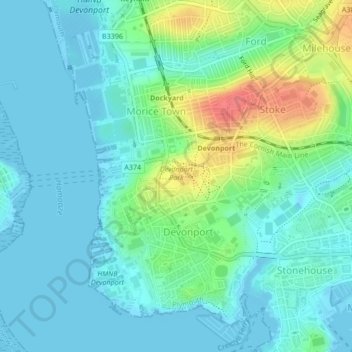
Name: Devonport Park topographic map, elevation, terrain.
Location: Devonport Park, Devonport, Plymouth, England, United Kingdom (50.37370 -4.17930 50.37762 -4.16954)
Average elevation: 15 m
Minimum elevation: -5 m
Maximum elevation: 61 m
Thank you for supporting this site ❤️
Make a donation
Make a donation
Other topographic maps
Click on a map to view its topography, its elevation and its terrain.