
Thala topographic map
Interactive map
Click on the map to display elevation.
About this map
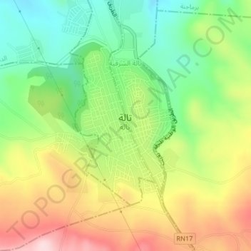
Name: Thala topographic map, elevation, terrain.
Location: Thala, تالة الغربية, معتمدية تالة, Kasserine, 1210, Tunisia (35.56255 8.65983 35.57924 8.67804)
Average elevation: 980 m
Minimum elevation: 847 m
Maximum elevation: 1,148 m
Thala (Arabic: تالة, romanized: Tāla) is a town and commune in Tunisia. It is located in the Kasserine Governorate since 1956. As of the 2004 census it had 13,968 inhabitants. The altitude of Thala is 1,017 metres (3,337 ft), which makes it the highest and the coldest town in the country.