
Harsin topographic map
Interactive map
Click on the map to display elevation.
About this map
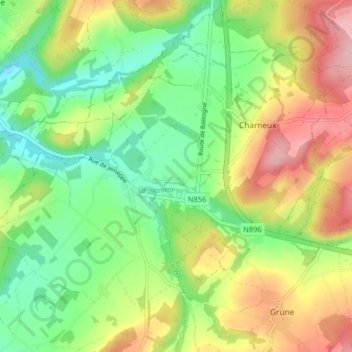
Name: Harsin topographic map, elevation, terrain.
Average elevation: 296 m
Minimum elevation: 220 m
Maximum elevation: 405 m
Other topographic maps
Click on a map to view its topography, its elevation and its terrain.
Lesterny
Belgique > Luxembourg > Marche-en-Famenne > Nassogne
Lesterny, Nassogne, Marche-en-Famenne, Luxembourg, Wallonie, Belgique
Average elevation: 284 m