
Ma`arrat Sin topographic map
Interactive map
Click on the map to display elevation.
About this map
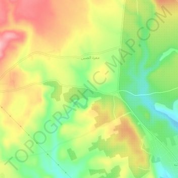
Name: Ma`arrat Sin topographic map, elevation, terrain.
Location: Ma`arrat Sin, Gouvernorat d'Idleb, Syrie (35.54667 36.49667 35.58667 36.53667)
Average elevation: 510 m
Minimum elevation: 437 m
Maximum elevation: 586 m