
Thank you for supporting this site ❤️
Make a donation
Make a donation
New Salem topographic map
Click on the map to display elevation.
Thank you for supporting this site ❤️
Make a donation
Make a donation
About this map
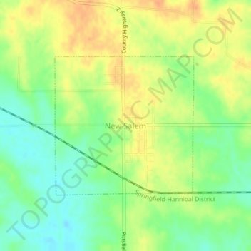
Name: New Salem topographic map, elevation, terrain.
Location: New Salem, Pike County, Illinois, United States (39.70005 -90.85752 39.71499 -90.83809)
Average elevation: 235 m
Minimum elevation: 215 m
Maximum elevation: 253 m
Thank you for supporting this site ❤️
Make a donation
Make a donation
Other topographic maps
Click on a map to view its topography, its elevation and its terrain.