
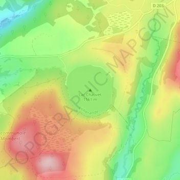
Lac Chauvet topographic map
Interactive map
Click on the map to display elevation.
About this map
Name: Lac Chauvet topographic map, elevation, terrain.
Average elevation: 1,180 m
Minimum elevation: 1,073 m
Maximum elevation: 1,286 m
Other topographic maps
Click on a map to view its topography, its elevation and its terrain.
Cascade de la Barthe
France > Auvergne-Rhône-Alpes > Puy-de-Dôme > Picherande
Cascade de la Barthe, Chemin Rural des Ribeyrelles à la Barthe, Picherande, Issoire, Puy-de-Dôme, Auvergne-Rhône-Alpes, France métropolitaine, 63113, France
Average elevation: 1,212 m