
Ramokholokotha topographic map
Interactive map
Click on the map to display elevation.
About this map
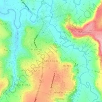
Name: Ramokholokotha topographic map, elevation, terrain.
Location: Ramokholokotha, Maseru District, 160, Lesotho (-29.43681 27.54567 -29.39681 27.58567)
Average elevation: 1,560 m
Minimum elevation: 1,508 m
Maximum elevation: 1,644 m