
Uppsala kommun topographic map
Interactive map
Click on the map to display elevation.
About this map
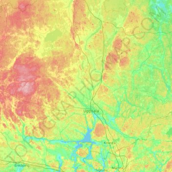
Name: Uppsala kommun topographic map, elevation, terrain.
Location: Uppsala kommun, Uppsala län, Zweden (59.73063 17.07993 60.18616 18.47336)
Average elevation: 36 m
Minimum elevation: -2 m
Maximum elevation: 111 m
Other topographic maps
Click on a map to view its topography, its elevation and its terrain.
Vittinge
Vittinge, Heby kommun, Uppsala län, 744 95, Zweden
Average elevation: 66 m