
Atxondo topographic map
Interactive map
Click on the map to display elevation.
About this map
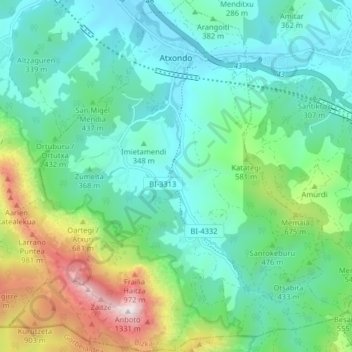
Name: Atxondo topographic map, elevation, terrain.
Location: Atxondo, Biscaye, Pays basque autonome, 48291, Espagne (43.08123 -2.62397 43.13979 -2.54727)
Average elevation: 435 m
Minimum elevation: 145 m
Maximum elevation: 1,304 m