
Westerland topographic map
Interactive map
Click on the map to display elevation.
About this map
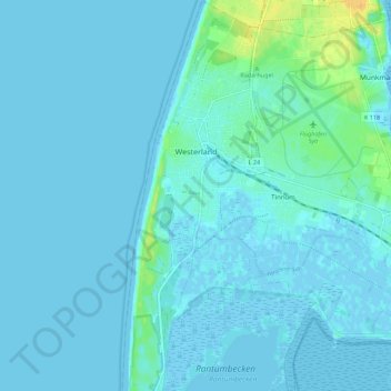
Name: Westerland topographic map, elevation, terrain.
Location: Westerland, Sylt, Nordfriesland, Sleeswijk-Holstein, Duitsland (54.86740 8.28659 54.93115 8.32273)
Average elevation: 3 m
Minimum elevation: -4 m
Maximum elevation: 24 m
Other topographic maps
Click on a map to view its topography, its elevation and its terrain.
Sylt
Duitsland > Sleeswijk-Holstein > Sylt
Sylt, Nordfriesland, Sleeswijk-Holstein, Duitsland
Average elevation: 0 m