
Mohi topographic map
Interactive map
Click on the map to display elevation.
About this map
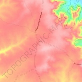
Name: Mohi topographic map, elevation, terrain.
Location: Mohi, Satara, Maharashtra, India (17.77740 74.65749 17.81740 74.69749)
Average elevation: 763 m
Minimum elevation: 649 m
Maximum elevation: 794 m